Skip to content
  • Report An Issue
FacebookAvenzaAvenza
Chester Trails Logo
  • HOME
  • ABOUT
    • About Chester Trails
    • Avenza
    • Kiosks
    • News / Articles
  • PARKS
  • TRAILS
    • All Trails
    • Easy Hikes
    • Moderate Hikes
    • Difficult Hikes
  • THEMED
    • Birdwatching
    • Geology
    • History
  • RESOURCES
    • Hiking Tips
    • Reading Blazes
    • NJ Trail Groups
    • Neighboring Trails Plans
    • Outside Trails
    • Hunting Information
  • CONTACT
    • Contact Us
    • Report An Issue

Highlands Ridge Park

  1. Home
  2. Highlands Ridge Park
Highlands Ridge Park
  • Park Overview

  • Trails / Trail Map

  • Map / Directions

  • Park Overview

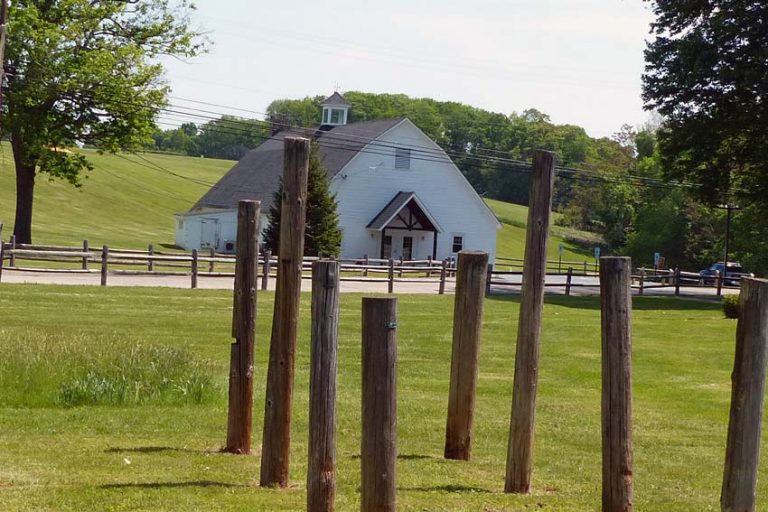
The 113-acre Highlands Ridge Park (formerly Bell Labs’ Telcordia Tract) was purchased in July 2004. The property was purchased for $6 million which was paid for with a combination of Township funds, a grant from the Morris County Open Space Trust Fund and a State of New Jersey Green Acres grant. Directly adjacent to the Evans Family Forest Preserve, the two parcels combined provide a total of 223 acres of contiguous parkland. Locally known as the “Telephone Pole Farm," the park was formerly a long-term test facility for AT&T.

The park contains a Community Garden, a portion of the Patriots Path, and several paths and woods roads which invite pleasant walking.

  • Trails / Trail Map

View Trail Map (PDF)

Trails

Unmarked Trail


At the center of the park is the Chester Community Garden, the entrance to which is off North Road less than ½ mile from the junction with South Road.  At the downhill edge is a woods road; a left turn here leads to a junction, in 0.1 mile with the Green Trail that leads in 300 feet to the Evans Family Forest Preserve and its four-miles of trails and Ayres Brook. Continuing on the woods road, the first left on a mown path affords an unhurried 0.4 mile loop walk around the gardens. Continuing straight on the woods road leads to another field and the far edge, uphill, to North Road and to the gate across from Black River Fields. This edge-of-field walk is an unblazed portion of the Patriots' Path, which continues downhill into the Black River Wildlife Management Area.

Back at the Community Garden, a right turn on the woods road leads in 0.1 mile to a junction on the right with a woods road leading to a large lawn with a stone firepit and wooden benches, then continues as a paved road that leads past the NJ Highlands Council building to North Road.      Continuing straight past this junction, the woods road continues west, uphill and then on a paved road to another field surrounding Seward’s Hill – well worth the climb for an expansive view of the surrounding area – although the Patriots Path passes to the left of the Hill on level ground. On the far side of the hill is a paved road which curves around to the right past the Chester Borough Municipal Building, meeting North Road at the telephone pole section. Continuing past the edge of the park,  the paved road on the right leads back to the Community Garden.


Length: 3.0 mi.
Usage: Hiking, Biking, Equestrian
Terrain: Stonedust, Hilly, Flat

Patriot's Path: White Marker


Information Coming Soon...


  • Map / Directions

Trail Map

Open In New Window (2.64MB)

gunnston2020-01-01T20:55:21-05:00

Spread the Word!

FacebookXLinkedInTumblrPinterestEmail
Download Trails Map

Find us on Facebook

  • Recent
  • Comments
  • Eagle Scout Project Brings Improved Trail Crossing in Tanners Brook Park
    January 4th, 2023
  • Update on Historic Structures in Chester
    March 6th, 2022
  • Chester Furnace Historic Site Video
    March 3rd, 2022
  • Chester Library Hosts Trails Presentation
    May 24th, 2021
  • Monarch Butterfly Waystation Designated at Highlands Ridge Park in Chester
    November 20th, 2020
  • Jack McCarthy says:

    Could the Patriot's Path connect to this greenway?
  • judye822 says:

    THANK YOU!!! Came through beautifully!!!! ! Sent from my iPad
  • julietrails says:

    How about now? Did the map come through?
  • Judye822 says:

    No map came through...... Just an open text box, it appears......
  • julietrails says:

    Just posted an item about this question. Take a look and let…

Trails

  • All Trails
  • Easy Hikes
  • Difficult Hikes
  • Moderate Hikes
  • All Parks

Themed Trails

  • Birdwatching
  • Geology
  • History

Quick Links

  • Using Avenza
  • Reading Kiosks
  • Hiking Tips
  • Reading Blazes
  • Report An Issue
Copyright © Chester Trails | Tweaked by I Heart Blank, LLC
FacebookAvenzaAvenza
Page load link
Go to Top